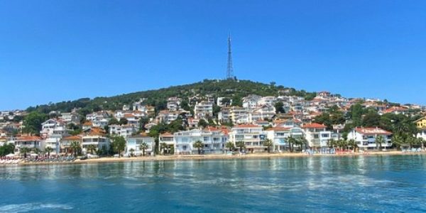
ISLANDS OF ISTANBUL
Throughout history, the islands of Istanbul have been given several names. Saint Islands, Priest Islands, Spirit Islands, Genie Islands, Ring Islands, Prince Islands, Crimson Islands, and other names are among them. Prince Islands is the most well-known of these names. Since the Roman Period to the Byzantine Period, aristocrats, princes, and even queens were exiled here to be tortured to death.
The Prince Islands are geological landforms that add to Istanbul’s natural beauty. These islands are thought to have been landed fragments that were split from the Kocaeli Peninsula during the fourth geological period due to depression. Because of periodic rising and submergence activities of the Thrace / Kocaeli peneplain, and particularly because of the separation and submergence of the Southern portion of the Bosporus, the Prince Islands rose above the water.
In terms of geographical distribution, the Prince Islands can be divided into two groups: central and periphery. The core group consists of Buyukada, Heybeliada, Burgazada, and Kasikadasi. Kinaliada, Sedefadasi, Tavsanadasi, Yassiada, and Sivriada are members of the second group, which surrounds the first group’s island.
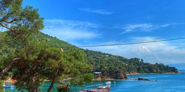
The overall surface area of the Prince Islands is 16 km2, with buildings covering around 542 hectares. Forests, macquis groves, and rocky terrain make up the majority of the islands’ surviving areas. Yucetepe, in the south of Buyukada, is the highest point on the Prince Islands. It stands at a height of 202 meters. After Murad IV, the monastery on Yucetepe was known to be used for the treatment of psychological problems (1623-1640). The topography of the Prince Islands is flat.
Curves on the coast are usually quite smooth.
The coves aren’t particularly indented. Buyukada has a flat-footed appearance. Heybeliada has a backward-looking sparrow form. Burgazada and Kinaliada are spherical in shape. Buyukada (5200 meters) is the longest and Heybeliada is the widest among the islands (2000 meters).
BÜYÜKADA
Among the Prince Islands, it is the largest. It covers a total area of 5.4 square kilometers. The island is 2300 meters away from the coast of Maltepe. On the Prince Islands, there are two hills, one in the south and one in the north. Yucetepe, with a height of 203 meters, is the hill to the south. Isa Tepesi (“Jesus Hill”) is the hill to the north.
After the First World War and the establishment of the Republic, Buyukada’s vitality faded dramatically until the 1930s, when the Greek population on the island began to diminish. However, by the 1940s, the island had reclaimed its reputation as a summer retreat for notable Republican politicians and bureaucrats, as well as rich individuals.
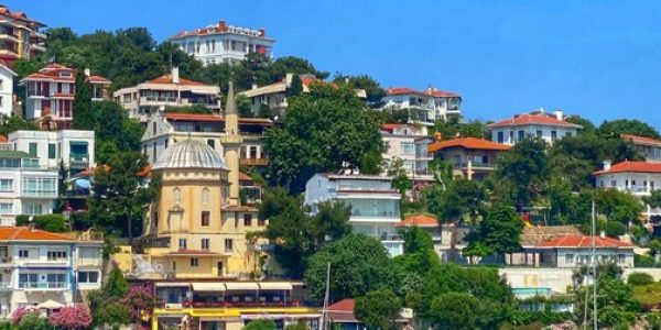
During this time, Buyukada was embellished with newer homes and artistically designed structures, and it became a popular destination for Istanbul residents. The St. George Church and Monastery is located on the island’s highest point. The first structure in this area was constructed in the sixth century CE. Many more churches and monasteries have been reduced to rubble.
HEYBELİADA
After Buyukada, Heybeliada is Istanbul’s largest island. Dimoniso, Khalky, Halkitis, and Halki are some of Heybeliada’s previous names. Halki was the most popular name among these. The island is now known as Heybeliada because of its shape, which resembles a heybe (“saddlebag”) that was left on the ground.
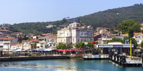
It is one of Istanbul’s most popular summer destinations. The island is known for its Naval High School, Sanitarium, and Halki Seminary, in addition to its natural beauty and clean air. Ferry services to Heybeliada, like those to other islands, began in the mid-nineteenth century. Because of the Naval High School, a substantial number of Turkish residents have lived on the island where wealthy Greeks live.
The island measures 2700 meters in breadth and 1200 meters in length. Heybeliada, which is made up of four hills, is located in the heart of Istanbul’s islands. Degirmentepe is the highest point in the area (136 meters). Tasocagi Hill, Makarios Hill, and Umit Hill are among the other hills. Umit Hill, formerly known as Papaz (“Priest”) Hill, is an 85-meter-high hill with a Priest School at its crest. On the island, there are also four ports.
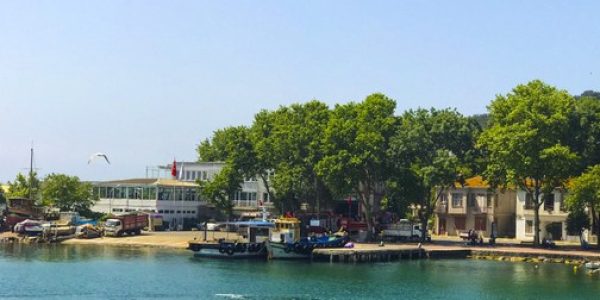
The most important of these ports are Cam Port and Bahriye Port, both of which are located in a beautiful cove.
BURGAZADA
In terms of size, Burgazada is Istanbul’s third-largest island. The island is spherical in shape, with a length and breadth of about 2 kilometers. Bayrak Hill is the lone hill on the island.
Burgazada, with its rebuilt and magnificent pavilions, coastline, pine trees, and climate, is one of Istanbul’s most popular destinations.
The islands’ houses and pavilions are renowned for their beauty and grandeur.
On this point, there is a lighthouse that extends towards Heybeliada. Mezarlik Cape is located on the beach’s southern end. By traveling around the cape’s rock, you may reach the island’s southern coast. This is where Bayrak Hill can be found, on a steep incline. The Hristos (Christ) Monastery is perched on this wall-like slope that rises from the sea.
After continuing along the coast, Kalpazankaya is the next stop. Burgazada’s resorts include the little settlement of Kalpazankaya, which is located near Kalpazankaya. The Monastery of Hagios Georgios (St. George) is located to the northwest of Kalpazankaya, while Marta Cove is located to the south of Kalpazankaya.
KINALIADA
Kınalıada is one of the smaller islands in Istanbul’s archipelago. It has a 1500 x 1100 kilometer surface area. Kinaliada gets its name from the reddish-brown color it gets when it is coated in macquis plants, which resembles henna. Cinar Hill, Tesvikiye Hill, and Manastir Hill are the three hills that make up the city.
Kınalıada is devoid of woods due to its stony terrain. It is known that during the Byzantine Era, rocks were carried from here to be used in the construction of the walls.
SEDEF ADASI
It is Istanbul’s smallest inhabited island. It has a 1300 x 1100 kilometer surface area. It was given the name Sedefadasi (“Pearl Island”) because of the pearly look of its vegetation when viewed from the summit.
Because of the large rabbit population, it was previously known as Tavsanadasi (“Rabbit Island”). On the island, there are two beaches. During the Byzantine Era, Sedefadasi, like the other islands of Istanbul, was utilized as a place of exile.
YASSIADA
It’s a tiny island. It measures 185 meters in width and 740 meters in height. It is the flatter of the two flat and pointy Hayirsizada (“Wicked Island”) islands.
It has a level topography, but its coasts are usually steeply inclined to the sea. To the north of the island, there is a small harbor. In 1947, the Naval Forces purchased Yassiada and turned it into a modern naval training station.
SİVRİ ADA
It is one of the smaller islands in Istanbul’s archipelago. Residents of Istanbul refer to Sivriada and Yassiada as “Hayirsizada.” It hasn’t been occupied in a long time.
The island is the result of a hill rising out of the ocean. It is at a height of 90 meters above sea level. To the south of the island, there is a tiny harbor and freshwater well. During the Byzantine Era, the island was known to be utilized as a place of exile.
During ancient times, the island was also known as a spot where monks preferred to be alone. Since the 10th century, the island has been home to a monastery. Only a few relics from the monastery have survived to this day.
KAŞIK ADASI
It’s a little island off the coast of Burgazada to the east. Pita was its previous name. It was given the Turkish name “Kasikadasi” (“Spoon Island”) because it resembles a spoon that has been placed face down.
The distance between the north and south sides of the island is only a few hundred meters. On the island, there is a little harbor and two small cottages.
TAVŞAN ADASI
It is Istanbul’s furthest island, lying far to the south of the city’s islands (It is 13.5 nautical miles away from Istanbul port).
In comparison to Kasikadasi, it is slightly larger. It measures 90 meters in length and width. It’s a barren, stony island with no trees. A 40-meter-high hill stands on the island. The island’s official name, as recorded on maps, is “Balikci Adasi” (“Fishermen’s Island”). Because of the large rabbit population, it was given the name Tavsanadasi (“Rabbit Island”).


